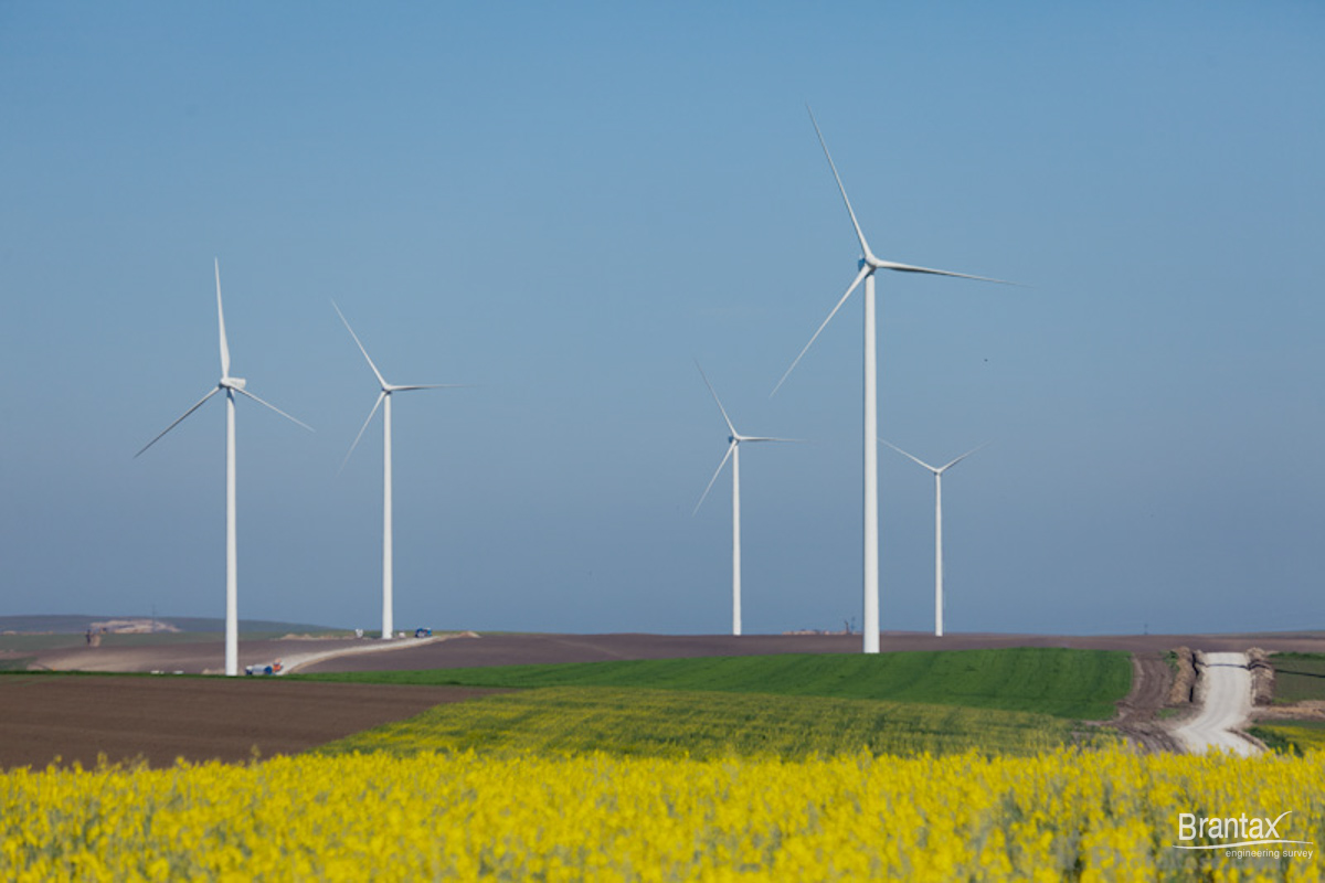
In the design stages of wind farms and photovoltaic sites particular attention is given to knowledge of the geological structure of the foundation soil. Through specific methods, geophysical surveying gathers complete geotechnical data and brings more information for land valuation.
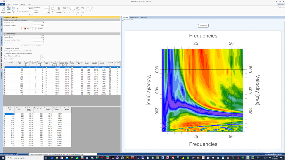
In projects developed to describe geological and hydrogeological conditions of an area that is going to develop a wind farm and photovoltaic we use methods like: seismic refraction, MASW, geoelectrical tomography, electrical resistivity (Wenner) and thermal conductivity. These methods were able to highlight geological structures, underground voids, natural or artificial inhomogeneities, plans slips, etc.


In case of placement of wind farms and photovoltaic sites in areas with oil wells or near urban or industrial areas is recommended execution of geophysical investigations for detection of buried networks or unexploded bombs (UXO).
Other geophysical applications: