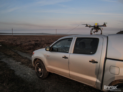
Aerial video-photography provides useful insights into the development of projects from the design stage, going to execution, inspection and maintenance and time tracking. Using drones (UAV) to capture aerial imagery brings extra flexibility in works approach with much lower costs compared to conventional aircraft.


In industrial and civilian field of investments aerial photography is used as a tool for checking and controlling, monitoring, planning and prevention. Aerial photograph proves to be particularly useful in real estate, archaeological research, exploitation of mineral resources (quarries, gravel pits), forestry and agriculture, natural parks and protected areas, means of communication and transportation, etc. Since on unmanned aircraft (drone, UAV) can be mounted different devices and sensors, their applicability can be extended considerably.


For projects with surfaces larger than few hundered hectares we recommend to be used small aircaraft (ULA). On this type of aircraft can be mounted high resolution equipment and the coverage is greatly expanded.


By processing the images acquired can get rectified orthophotos and 3D model of the earth surface (DSM) on extremely large area – hundreds of thousands of hectares.
Resolution of aerophotos may be less than 10 cm/pixel, which recommends airphotogrammetric methods for different applications: forest maps, geological research, large infrastructure projects, environmental applications, ecological restoration, feasibility studies, etc.
Applications:
Orthophotomaps and Photogrammetry
3D Terrain Model
Oblique and Panoramic Images
Electrical Network Monitoring
Multispectral Photos
Infrared Thermal Photos
Industrial and Residential Buildings
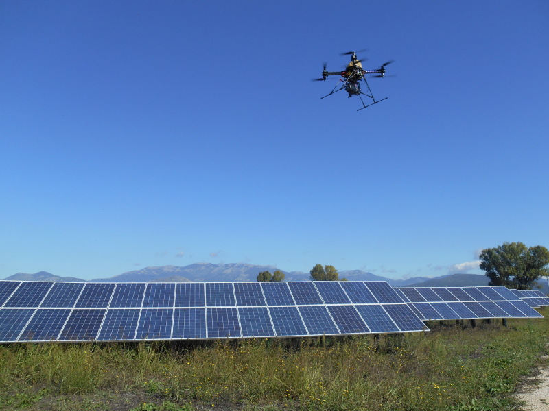
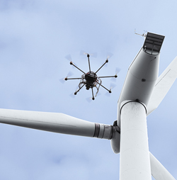
Wind Farms and Photovoltaic Parks
Agriculture Monitoring
Protected Natural Areas
Telecommunication and GSM Pillars